
SECTION 1 – RUSHEN ABBEY TO ROUND TABLE
DIRECTIONS
Leaving Rushen Abbey, the route starts by following the Silverburn river upstream, ignoring the ford crossing and soon arriving at Monks Bridge, dating from 1134 (grid reference 280705). We follow Millennium Way and Herring Way (Bayr ny Skeddan) signs for this first part of the route. We cross the stile by the bridge and continue along a well-defined path, with the river on the right. Pass through a gate to enter attractive Silverdale Glen. Emerging from the glen at Silverdale, cross the car park and skirt around the boating lake to its left. Follow the path a further half mile before arriving at the busy A3 road (GR 273715) at the Athol Bridge at the foot of the Ballamodha Straight. Turn right and walk uphill along the A3 for about 500m.
After some 500m (GR 273720), just after Silverburn Farm on the right, turn left along a lane with fine views of open country ahead. Once over a stile, go straight across a field, and through a gate to pass through a well-spaced grove of mixed trees. Follow the marked path over stiles, fields and a footbridge, eventually arriving at a stile which leads to a short clearing alongside a stream – before emerging on a minor road at the hamlet of Grenaby (GR 265724). From here walk uphill along the road for over a mile, reaching the old Methodist chapel of Kerrowkeeill (GR 260739), continuing along the road. On reaching the next road (the B39), we cross straight over on to a rough track. After about 300m, at a junction (GR 257746) near the entrance to the coniferous Cringle Plantation, we fork left, still ascending. We have now rejoined the Bayr ny Skeddan, and we climb this forest track for a further half mile with fine views of South Barrule (1585ft / 483m) to the right. Our path joins the A27 road (GR 246757) for a short distance before arriving at a busy crossroads known as the Round Table (GR 246759).
DIRECTIONS
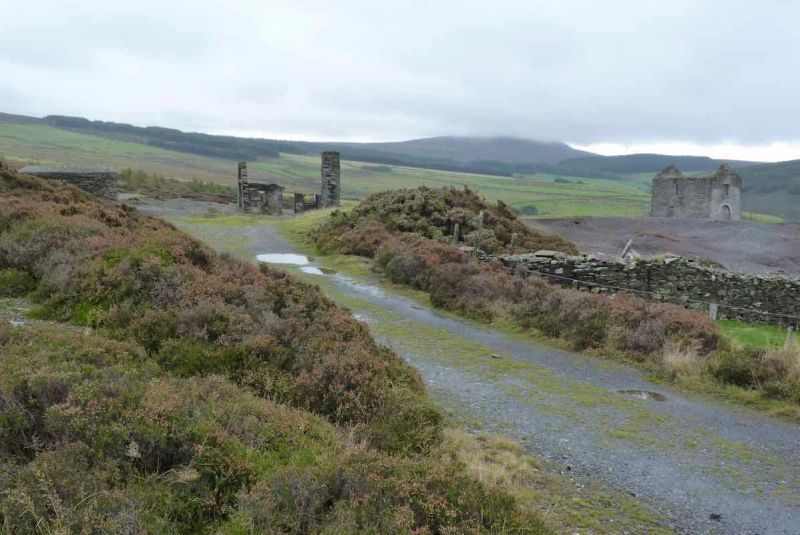
Crossing the junction carefully, we turn right briefly along the A36 but leave this almost immediately, turning off through a gate (GR 246760) on to a broad descending track, which soon enters Glen Rushen plantation. After about half a mile, the conifers give way to open views looking down to Glen Rushen on the left, South Barrule up on our right, and the chimney of old Beckwith mine ahead. Continue walking down the path, passing a ruined farmhouse (tholtan) on the left, then the remains of Glen Rushen Methodist chapel on the right (GR 246772).
Proceed along the valley path, with the stream never far away to the left. Picnic tables (GR 244788) by the river offer a chance for a rest. The path becomes a tarmac lane, and after half a mile leave the lane on to a public footpath down to the left (GR240795). This passes through a decorated garden before emerging on to the main road (A27) in Glen Maye village (GR 236797). Turn right up the road, and after 300m turn left into the Waterfall Inn car park. (Glen Maye Methodist chapel lies slightly further up the hill, on the right.)
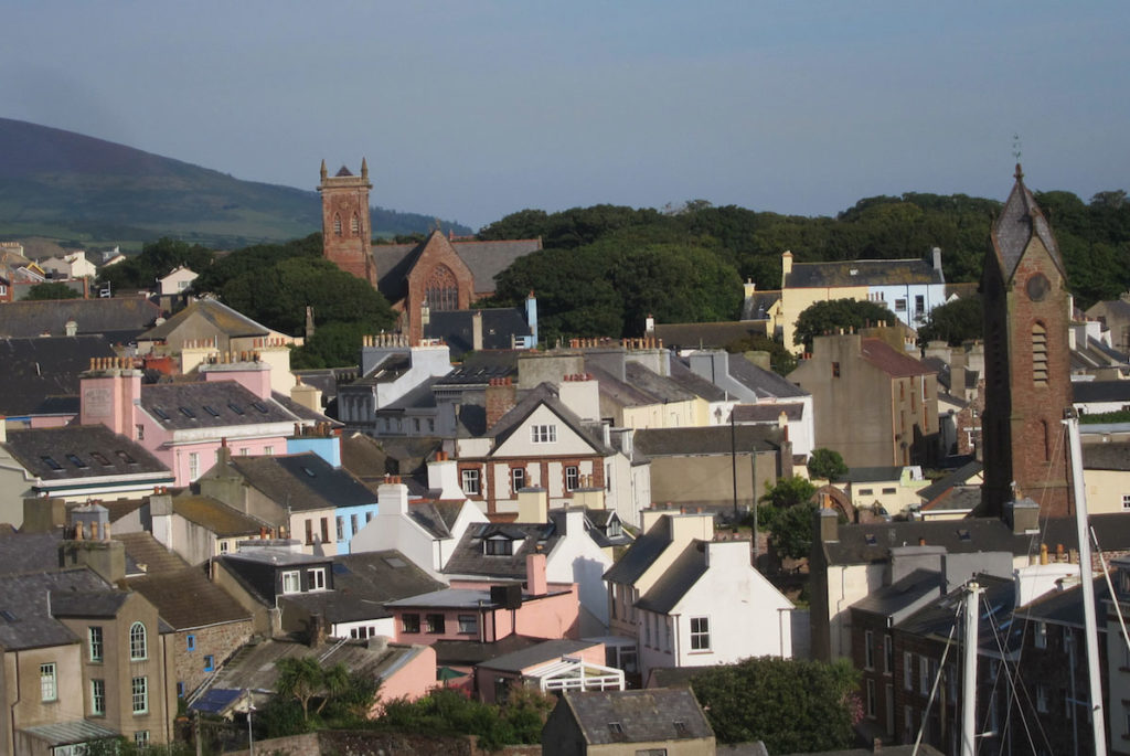
From Glen Maye to Peel – this 4 mile section includes a dramatic waterfall in a wooded glen, a level clifftop walk and stunning views of Peel from Corrin’s Folly.
DIRECTIONS
Walk through the car park to the footpath with steps leading down into the glen. Proceed along this, taking the right turn onto the lower path at the first junction. Approaching the river, take time to walk on to the bridge which affords a fine view of the dramatic waterfall. Continue down through the glen path, ignoring a path on the left with ascending steps. Leave the glen on arrival at a lane, turning left down this path, then cross a bridge and on to the beach. Very close on the right is a steep path leaving the shore which soon brings us on to the top of the cliff (GR 231799), with scenic views south towards Niarbyl.
Continue along the coastal path (Raad ny Foillan) along the clifftop for almost 3 miles, with fine views all the way as Peel Hill looms closer. Go through the gate (GR 231825) at the foot of Peel, and take the path heading for the tower (Corrin’s Folly) at the summit (GR 232830), which offers more views of Peel, its harbour, castle (including the original cathedral) – and the vista of the west coast all the way to Jurby Head 12 miles distant.
Leave the summit, following the ridge path which soon descends towards the castle, arriving at the car park by Fenella beach, Exit the car park, turn right alongside the estuary of the river Neb, then immediately cross the footbridge over the river into the town. (Occasionly this bridge is closed to allow craft to enter the harbour, but this only takes a few minutes.)
Walk along Peel promenade (Shore Road), turning right up Bridge St into Atholl Place. Here, in front of the IoM Bank, turn left into Derby Road, and soon the cathedral appears on the right, with an opportunity to visit. Continue up Derby Road, turning left by the police station into Church St, at the bottom of which turn right along Christian St, which soon becomes Peveril Road. A left turn takes us downhill into Walpole Rd, but before we reach the sea a path on the right takes us on to the headland and the Raad ny Foillan as we leave Peel.
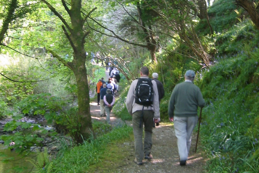
Peel to Kirk Michael – 8 miles of varied walking, with fine views both out to sea, and to the hills inland. The woodland of Glen Mooar embraces the spectacular Spooyt Vane and the ruins of 9th century “Patrick’s Chapel”.
DIRECTIONS
With Peel behind us, follow the Raad ny Foillan along the clifftop for about a mile, turning inland at Cain’s Strand to soon join the A4 coast road, on to which we turn left – this is still the Raad ny Foillan. Walk along the road with care (keep to the right side) for about 100m before taking the second road on the right (grid ref 267853) walking uphill, crossing a bridge over the old railway line, then through Lhergydhoo farm before arriving at the Switchback road (GR 275851). Cross straight over this on to a public footpath opposite, and continue along this for about 1.5 miles, climbing gently with fine views up the coast and out to sea. At length this track meets the Stockfield road (GR 293855) – turn left and walk along this ridge road for some 2 miles, enjoying scenic hill views and passing keeill Pherick-a-Dromma along the way after a mile or so (just inside a field on the right via a farm gate – easy to miss! – GR 297868).
Eventually the road turns into a track and ignoring tracks off to the left we descend quite steeply into Glen Mooar, entered through a small gate on the left (GR 307887). Take time to visit the spectacular Spooyt Vane (‘white spout’) nearby, taking care on the steep steps to the right of the path. Back up in the glen, after 100m look out for the ruins of the ancient 9thcentury ‘Patrick’s chapel’ (‘Keeill Pheric’) – again, easy to walk straight past. Continue walking down through glen along the upper path, eventually taking a sharp right tutrn down a flight of steps, crossing the bridge and up the other side near the tall railway viaduct pillar to join the disused railway track which soon arrives at a minor road. Go straight across this and take the footpath on the left (‘the Tramman Road’ – GR 307894) – as opposed to the right hand path (the old railway line).
After some 500m, just before meeting the coast road (A4) we turn sharp right down a slope and back onto the old railway track. On this we turn left and through a tunnel under the coast road (GR 311897) and continue a further 700m when the path descends steeply into Glen Wyllin (GR 313905) with facilities (camping, toilets, shop) during the summer. Cross the footbridge near the viaduct pillar and climb the steep steps up the other side. At the top, the path rejoins the old rail track again and after 300m, near the original level crossing gate and a short section of rail, arrives at a road (GR 315907). We turn right along it , soon arriving at the main road (A3) through Kirk Michael village, with a good range of shops. Turn left along the high street, passing the parish church on the left after 300m (GR 317909).
The church displays a fine Baillie Scott lychgate, and houses many old Celtic and Norse cross slabs inside the church, as well as bishops’ graves in the churchyard to the right. Proceed further along the main road for some 150m before turning right (at a white cottage GR 319909) up a side road, known as the Baltic Road.
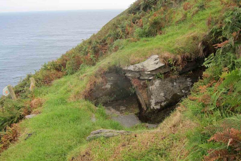
DIRECTIONS
From Kirk Michael, climb the Baltic Road, the tarmac giving way to a stony track. About 1.5 miles from Kirk Michael we arrive at a ladder stile (GR 331901) which we climb and continue as the track ascends and bends around the shoulder of Slieau Curn, with excellent views of the hiils and back towards the sea. As the gradient begins to level off, we ignore a track coming in from Ballaugh on the left, and in a further 50m we arrive at a fork with two paths ahead (GR 343896); we take the left one, despite the ‘Road Closed’ sign (2016) which only applies to vehicular traffic.
As we finally reach the top along the spine of the island, views of Snaefell and North Barrule open up ahead. Now descend for about 1km to reach a crossroads of paths (GR 351889). We turn right, through a gate, then immediately left over a stile, continuing downhill in a straight line, with a smal deciduous plantation on the right. After some 700m we arrive at the Druidale Road (GR 356884) and turn left along it. About 1km on (GR 361887) turn right onto a paved public footpath which takes us towards Druidale Farm. Just before the farm, turn left (through a small gate (GR 367887) and descend a path through some old trees, taking care as the ground may be wet. At the bottom, we arrive at a bridge (GR 367889) over one of the tributary streams into the Sulby Reservoir, whose banks we are now on. Immediately after the bridge, turn right through a gate and continue along the path, with the reservoir down on our right. After 500m, at a junction of paths (GR 371892), turn sharp right, through a gate, and on to the dam. Walk along this and up the steps at the far end into the car park (GR 375890).
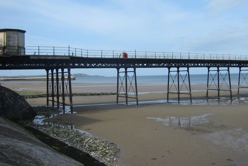
DIRECTIONS
Leave the reservoir car park and turn right onto the main road (A14) (GR 374892). We follow this road for the next mile as it ascends towards Snaefell.
Take great care as traffic can be fast.
As there is no pavement, walk on the grass verges where possible. After a mile (at GR 386880) we turn left sharply onto the Millennium Way (MW) footpath. Follow this for the next 2 miles, around the shoulder of Snaefell and dropping to cross a footbridge over a stream (GR 399896) near Block Eary, following the white MW waymark poles. After a further three-quarters of a mile we arrive at a Millennium Way marker stone (GR 402905) on level ground.
Another half-mile on, a track joins us (GR 407909) from the right (Mountain Box) but we continue along the MW for a further 3 miles, ignoring paths off to the left, and enjoying excellent views of North Barrule to our right and the northerm plain ahead. At length we begin to descend, with Ballakillingan Plantation on our left, before we enter (GR 428939) Sky Hill plantation – still on the MW path. At the foot of Sky Hill we reach a main road (A3) marking the end of the MW (GR 432943). Cross the road with care and turn right along it, on the pavement towards Ramsey, passing Milntown estate and Ramsey Grammar School on the right.
Arriving at a traffic light junction by the town hall (GR 448945), we cross straight over into Parliament St, soon taking a left down Christian Road to arrive at the quayside. Turn right here and walk along West Quay with views of fishing and commercial vessels as well as Ramsey shipyard on the other side of the swing bridge. The quayside leads to Market Place car park (GR 453943), which we cross towards St Paul’s church, then turn left down Dale St and out onto Ramsey’s Queens Promenade (GR 455945) by the Roman Catholic church. Turn right and walk the length of the promenade to the iron pier (GR 456940). Immediately beyond the pier, descend a flight of steps onto the shore at Ballure (unless there is an unusually high tide, in which case continue along the main road from Ramsey pier – to where the path from the beach meets us).
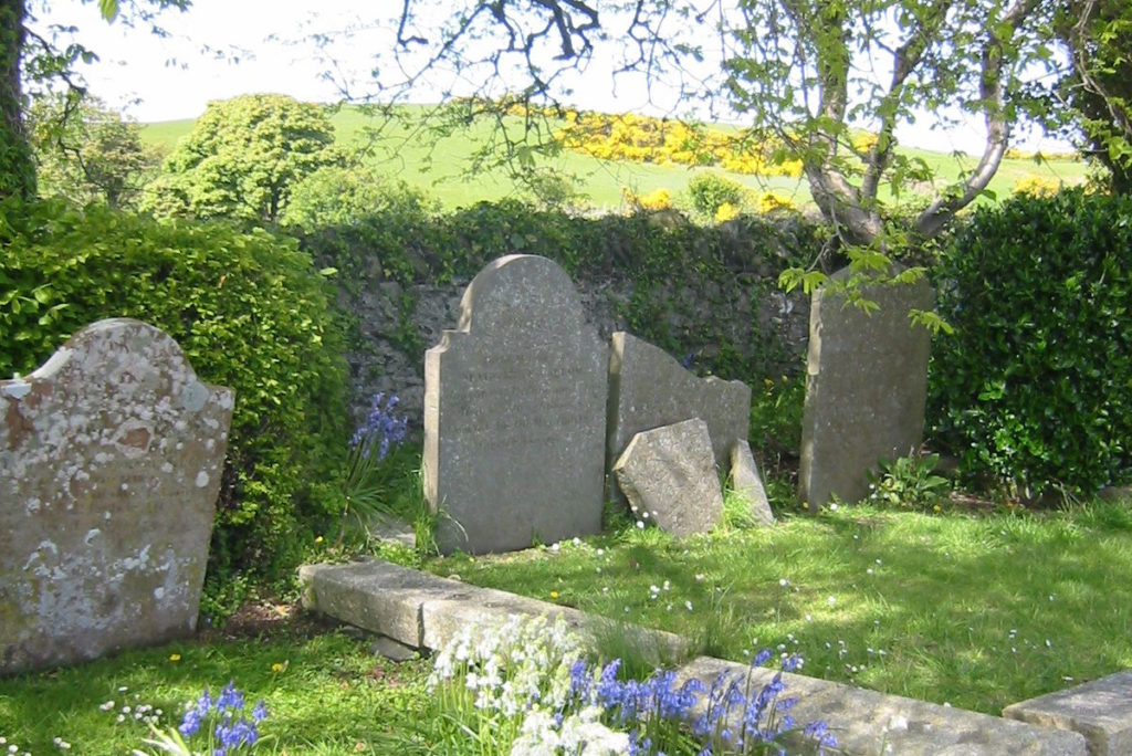
DIRECTIONS
From the beach at Ballure (GR 457936) we follow the coastal footpath (Raad ny Foillan) all the way. Leaving the beach we head up Ballure Glen emerging on to the Manx Electric Railway (MER) line which we cross with care before arriving at a busy main road (A2), along which turn left and walk along the pavement, arriving at a road junction after 600m. We take the left turn here (GR 463931) onto the A15, towards Maughold. After some 300m we carefully cross the tracks of the MER, near Ballure Halt station. After a further 600m on the road, unless the tide is high, we turn left at Port Lewaigue (GR 469929) on a short road leading to a car park by the shore.
Through the car park a path above the shore continues around the Gob ny Rona peninsula and onto the beach at Port e Vullen. (If the tide is high, continue along the road into Port e Vullen.) Walk along the road for a further 300m before turning left (GR 475926) onto a footpath which climbs up on to the brooghs (cliffs). The final 1.5 miles along the top of these brooghs offer splendid walking with fine views out to sea and back over the northern plain. At length we descend into Maughold churchyard (GR 493917) with its three keeills and parish church. At the far end of the churchyard, a shelter (designed by Baillie Scott) houses a very fine collection of crosses found across this parish.
Pilgrimage Isle Of Man
Sitemap / XML
Funded by Arts and Humanities Research Council www.ahrc.ac.uk

